
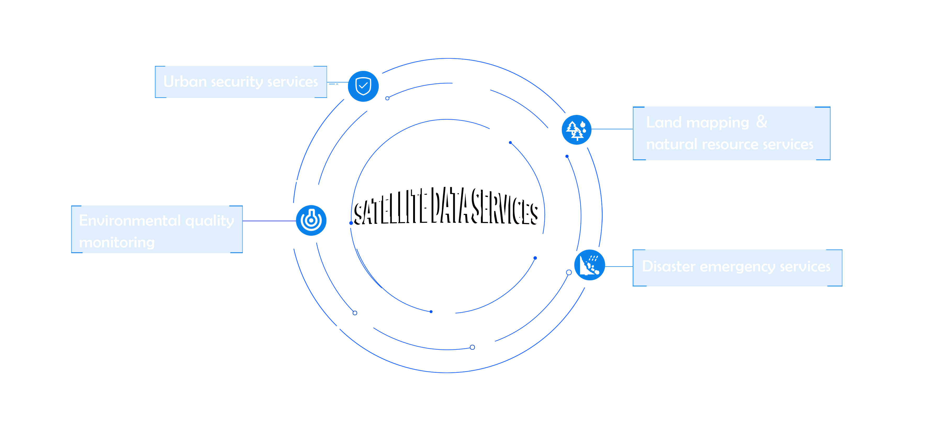
Urban security services
The use of synthetic aperture radar satellite images can obtain information on surface deformation and subsidence. Based on multi period radar images of long time series, it can monitor surface deformation at the millimeter level, with the characteristics of wide monitoring range, high accuracy, and fast response speed. This method, combined with optical remote sensing, can synergistically achieve effective support for urban safety. It can periodically conduct safety inspections on urban buildings, bridges, highways, water conservancy facilities, and oil and gas facilities, and can early identify settlement and slope disasters.
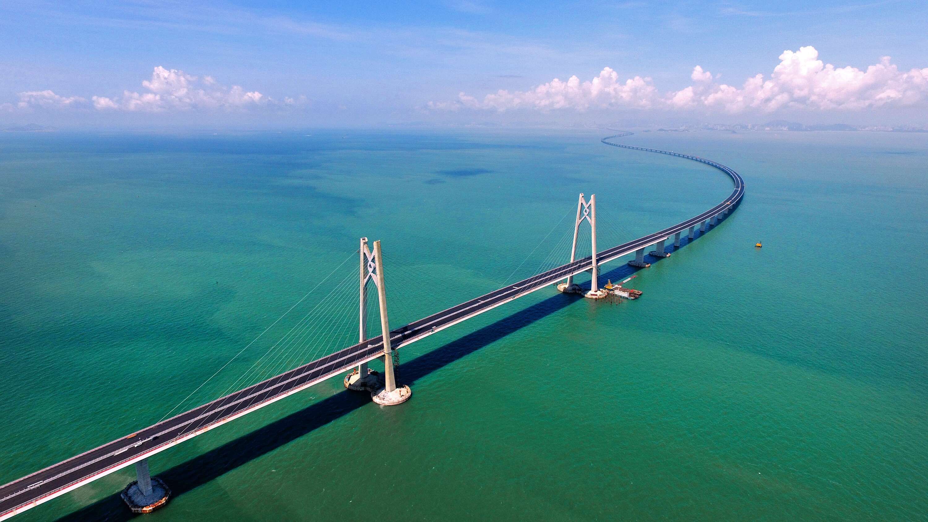
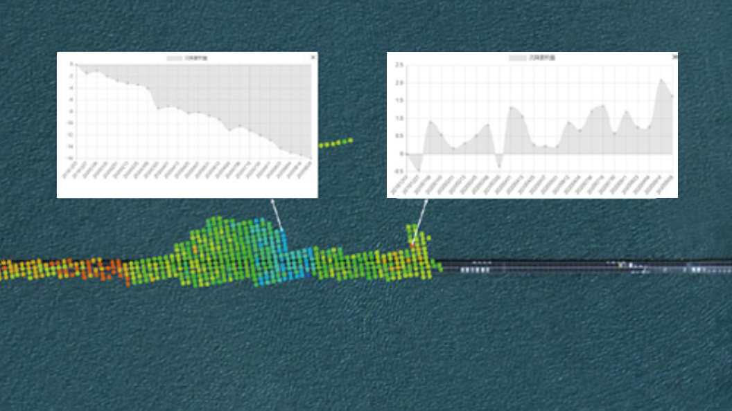
The deformation monitoring of the ‘GangZhuAo’ Bridge
The darker the color, the greater the deformation
Time series statistics of areas with large bridge deformation
.png)
Bridge and infrastructure safety monitoring
.png)
Time series statistics for areas with small bridge deformation
.png)
Schematic diagram of statistical points for bridge deformation
Location:Geographic coordinates and elevations of point clouds
Timeliness:Twice a month on average
Velocity:Average deformation rate of measuring points (in millimeters)
Curve:Analysis of Time Evolution of Measurement Points (7 Years) Knowledge Curve
Precision:Up to ± 2mm/y
Density:Up to 20000 pieces per square kilometer