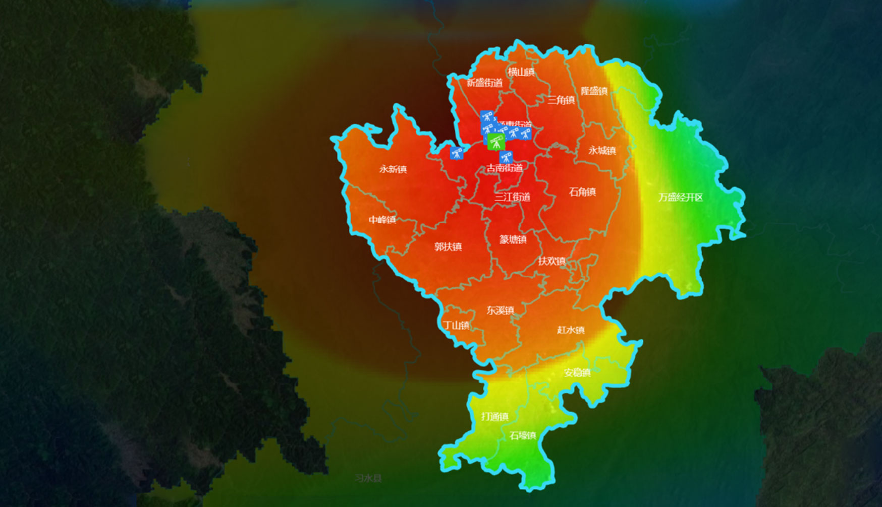
Atmospheric environment monitoring
By utilizing the characteristics of wide satellite coverage and high timeliness, atmospheric parameter concentration prediction and early warning have been carried out, achieving short-term and long-term prediction of atmospheric pollution parameters. Regular analysis of atmospheric hot spot grids has been carried out to determine high-value points throughout the region, achieving precise control of atmospheric pollution and analysis of atmospheric pollution diffusion outside the region.
Hourly satellite remote sensing monitoring, providing daily briefings on time;
Historical spatial distribution of pollution, ranking of pollution indicators.
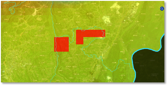
Weekly pollution hotspot grid, searching for clues and discovering problems;
Future pollution prediction, providing trend analysis of changes.

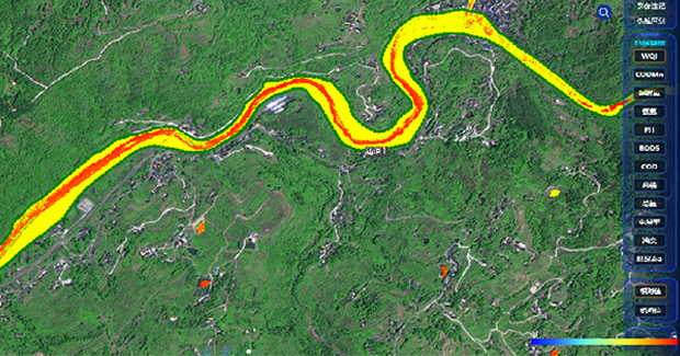
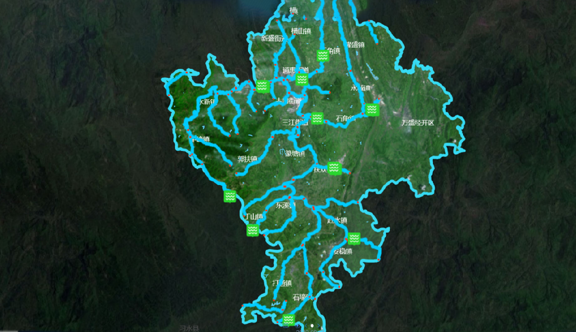
Water quality monitoring
Satellite remote sensing can obtain the spectral characteristics of water bodies, thus enabling the retrieval of water elements with distinct spectral characteristics, including chlorophyll a, suspended solids, yellow matter, and other phytoplankton pigments with distinct spectral characteristics, such as phycocyanin. Subsequently, the inversion of elements closely related to these water elements, such as transparency, turbidity, algal biomass, and chemical oxygen demand, can be performed.
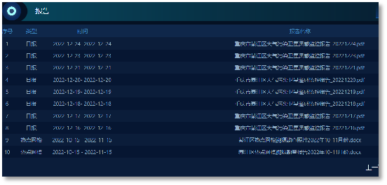
Monthly satellite remote sensing monitoring and timely provision of monthly analysis report;
Historical spatial distribution of pollution, tracing and ranking of pollution indicators.
Search for clues and identify problems in each pollution hotspot section of the river;
Water quality pollution prediction, providing trend analysis of changes.