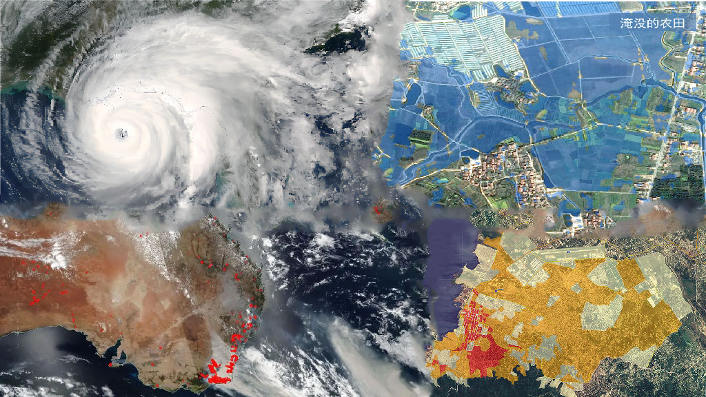
Disaster emergency services
Satellite remote sensing has a wide range and fast response capability, among which SAR satellites have all-weather imaging capabilities, which can quickly respond to disasters such as typhoons, floods, and fires. They can continuously monitor the affected areas without blind spots, accurately obtain the characteristics of the disaster bearing body, monitor the progress of the disaster, and evaluate the post disaster.
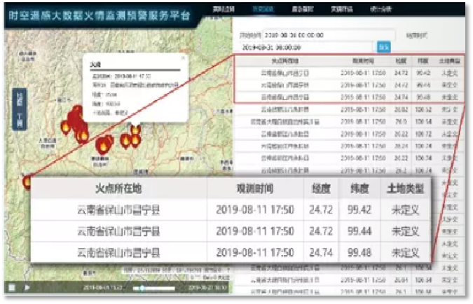
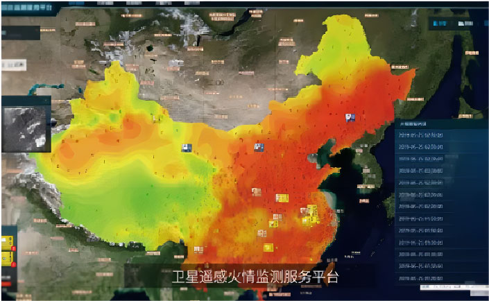
Satellite remote sensing fire situation platform
A fire monitoring system established based on remote sensing, big data, artificial intelligence, and geographic information system technology. Provide technical support for emergency management, achieve real-time monitoring of fire, emergency command, and disaster assessment. Capable of conducting real-time monitoring of large forest covered areas, especially remote and sparsely populated areas, without blind spots, all-weather, and continuously.
Platform module
The platform has three universal modules: real-time monitoring, historical playback, and fire reporting, as well as two customized modules for emergency command and disaster assessment based on user needs. It also includes expansion modules such as air pollution monitoring and meteorological information.